If you visit the area of Los Cristianos / Playa Americas / Costa Adeje in Tenerife you will see people on the top of a twin peaked hill to the left – this is the volcanic Montana Chayofita – an easy to climb 15min path of cinder and volcanic rock. To the right is the more majestic table-top mountain Roque del Conde which can be seen from most places on the south west of the island. The shortest way to ascend is from the village of Vento near Arona a bus can be taken to get there from Los Christianos , but I decided to walk.
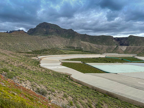
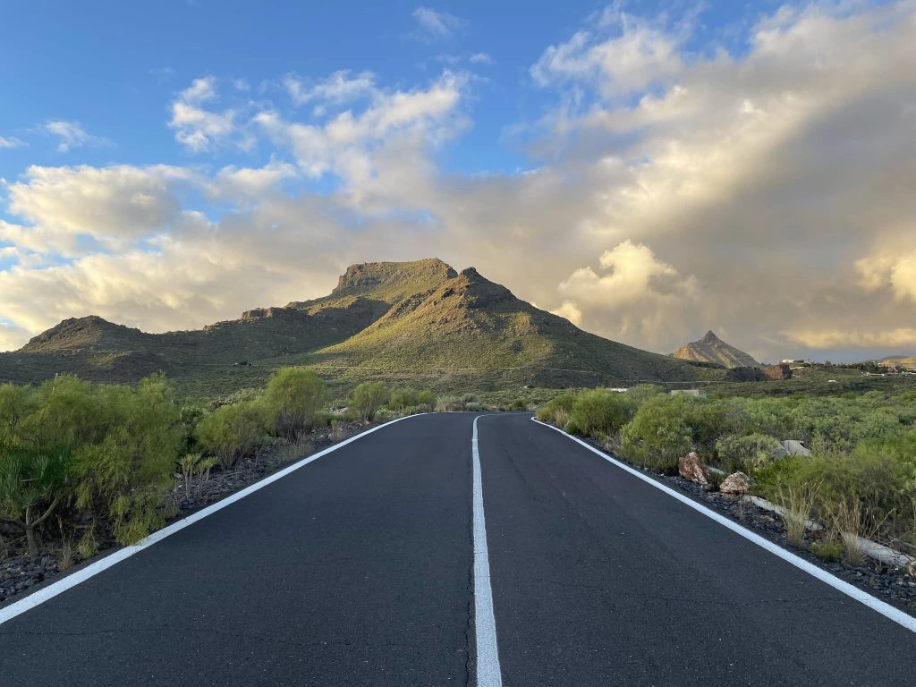
After navigating some busy roads on the outskirts of Los Cristianos to get over the Autopista del Sur I headed up past the Centro Commercial Siam Mall shopping centre to the quieter road Av. de Francia up to Monumento Natural de La Caldera del Rey. With a name like that I was expecting more interesting landscape but it’s just like a huge banana plantation in an old crater with the Monumento being the ridge above. And the mountain I’m heading for is on the horizon in the pic below.
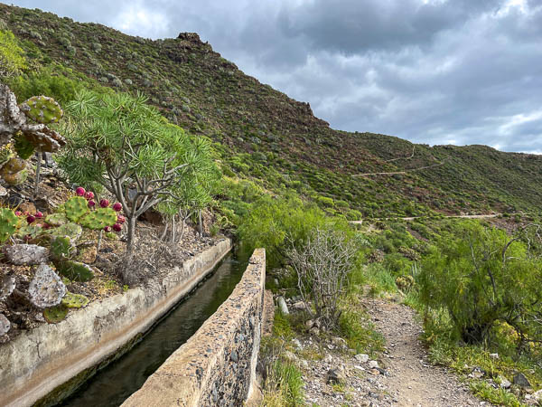
The road splits at the Mirador de Fañabe and you take the right dead end which leads to a wasteland path up the side of a holiday complex and onto the ridge of the Monumento Natural de La Caldera del Rey. The path from here follows various Levadas. At times it isn’t easy to follow but someone has marked the route with white arrows on stones along the way so that helps keep you on course.
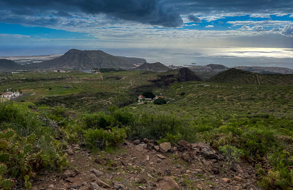
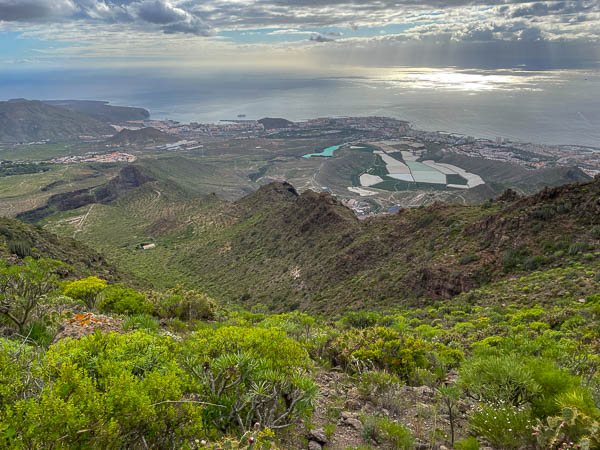
As you climb all of the south west of the island comes into view including the Montana Chayofita on the horizon in the centre of the photo below.
From here the path becomes less clear and it’s easy to stray off course. Make sure you have a good gps style navigation and keep an eye out for white markers or small Cairn stone stacks.
Through this part of the climb I had to negotiate prickly pears and cacti spikes. My arms and legs got pierced several times. It also became much steeper and might be challenging for some.
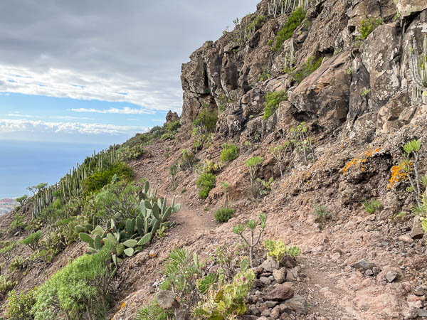
The last section of the ascent was well trodden and fairly easy after the earlier steep climb.
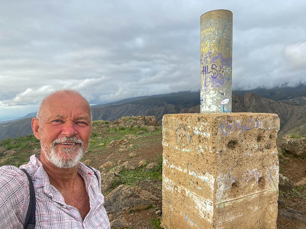
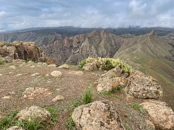
The plateau presents some excellent views of the nearby peaks
The ascent is very steep from the plateau and follows the side of the mountain bringing the other peaks into view.
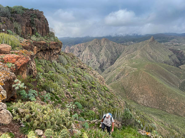
It zigzags down the side of the mountain and could be slippy in wet weather. The lose rocks also make it easy to slip. The views are spectacular however and well worth the hazardous footing.
Once you reach the base there’s a clearly trodden path to the right that takes you into the dramatic Barranco del inferno and once through this you have a few up and down stages before you reach the village of Vento, from here you either walk to Arona and catch a bus back to the coast or as I did follow the roads to Jungle Park and then back down into Los Cristianos past the Hospital and the horrible negotiation of traffic and roadways at the Gran Oasis junction of the Autpiste del Sur.
The whole walk was 23.8km
Leave a Reply